 |
RV Boondocking Along the
North Umpqua River
|
 |
| |
This was a well planned trip to State Route 138 off Interstate 5 which begins in Roseburg, Oregon. We called ahead for the RV Park searched out using the Internet. A full hook-up was only $11 per night. |
 |
|
|
 |
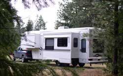
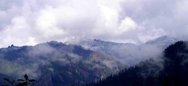
This was to be a three night stay which would give us the time to search out the 20+ waterfalls in the area. We arrived at the RV park early, walked through the park and quickly decided this was not the park for us. However, according to an area brochure we picked up at the National Park office, there was an RV Park at Dry Creek. As it turns out, the Dry Creek RV Park was out of business. We decided to boondock for the three nights. I was so sure of our full hook-up camping, I had |
| |
not filled the fresh water tank with water. The only water we had was what was already in the tank and the meter was reading "low". I think you have to be mentally prepared to boondock. I'd been following our Internet friend George who describes his daily boondocking experiences so I knew it was a natural thing to do but I still felt uneasy not knowing exactly where we were or where the road ended that we were camped next to. |
 |
 |
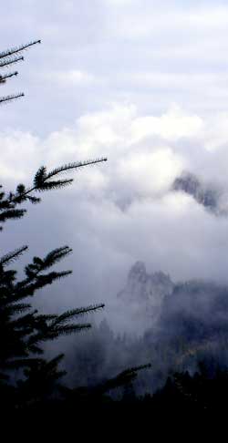 |
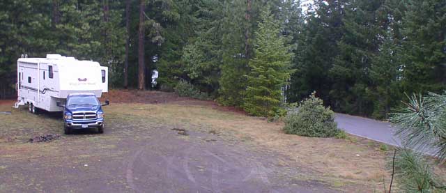
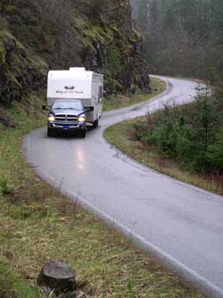
I chose a one lane paved road (Copeland Creek Road) to follow about 5 miles east of Dry Creek. We only traveled about 4 miles along this road when we found the perfect, level camp site. It was not hidden from the road but only two cars passed down the road over the three days we were camped. When entering the road we had to pass a sign declaring, "Road Ahead not Maintained for Winter Travel". Just something else to think about since I didn't have my chainsaw to clear a fallen tree and it was February.
The water was not a problem, we collected creek water and rain water to flush the toilet and wash the dishes. We purchased |
| |
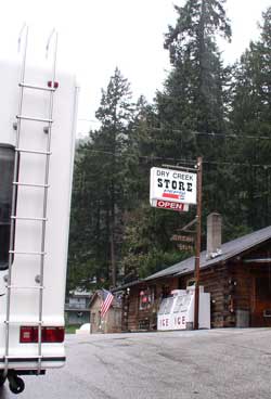
drinking water from the Dry Creek Store and still had two showers each day (one for each of us).
Next question, it was cold, did we have enough propane? We had two full 10 gallon tanks so I assumed we had plenty. How long would the two 12 volt batteries last? The two heaters in the trailer probably needed a lot of power to circulate hot air. The batteries lost power in about 1-1/2 days so we had to park the truck close enough to recharge the batteries and for auxillary |
 |
| |
 |
power. I wasn't sure if the two truck batteries might also be drained of power so I continued to run the engine occasionally. We began to think how neat it would be to have a little generator.
It was time to do what we had come for. Go in search of the many waterfalls in the area. |
| |
One of our resources in planning this trip was to visit:  US Maps at RandMcNally.com
where we were able to use their "trip plan", enter a starting point, destination and places to visit along the way. We then printed out the whole trip with maps, and driving directions.
US Maps at RandMcNally.com
where we were able to use their "trip plan", enter a starting point, destination and places to visit along the way. We then printed out the whole trip with maps, and driving directions.
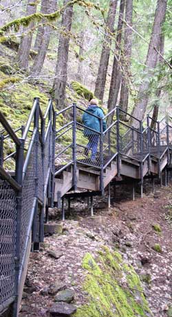
Toketee Falls was our first destination. The falls promised to be the most beautiful and only a 1 mile hike. The trail was well maintained with a long set of steel stairs through the difficult terrain. |
 |
| |
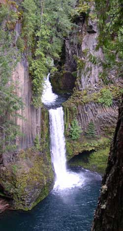 |
Toketee lived up to it's reputation for beautiful. It is a two level falls into a bright blue pool of water. |
| |
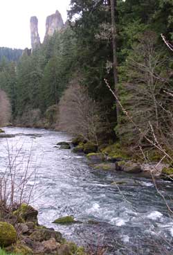
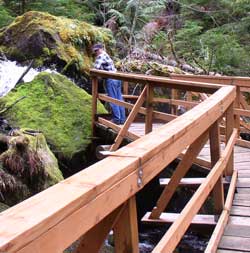
The next hike was to the tallest falls in the area, Watson Falls. All these falls are relatively close to each other, about 11 minutes from one trailhead to the next. |
 |
| |
 |
Again, the hike was short, about a mile with a wood bridge over the creek. All this area is great for the "artsy-fartsy" photographer who wants to take the time to search out the good nature shots. |
| |
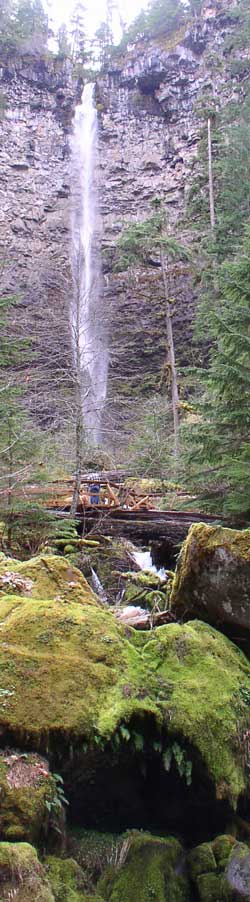
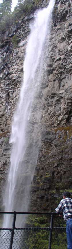
Watson Falls is 272 feet with a trail right to the base of the falls. Probably a good place to stand on a hot summer day but our February trip wasn't a good time for a shower except for the one waiting back at our camp. |
 |
 |
| |
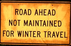 |
We could laugh at this sign on our last day. After exploring, we found that there was more than one road out of the area so I wasn't so worried after that. |
| |
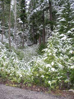
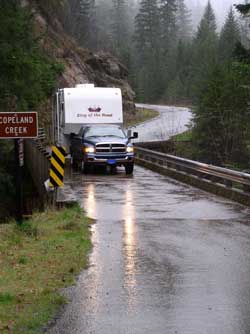
Two of the three boondock days were stormy. Our road was still in good shape but only wide enough for one fifth wheel including this bridge over Copeland Creek. We still had fresh water in the tank on our last day. We enjoyed our first boondock in the KOTR and are looking for more opportunities. |
 |
| |
Boondocking along the
North Umpqua River.
We are the Star on the map. |
|