RV Adventure: Searching for
Brown Mountain Lava

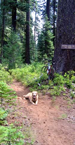
That the trail was marked with a sign showing that bicycles, hikers and horses were equally welcome to use this trail.
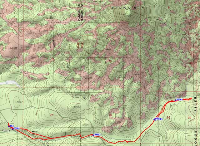
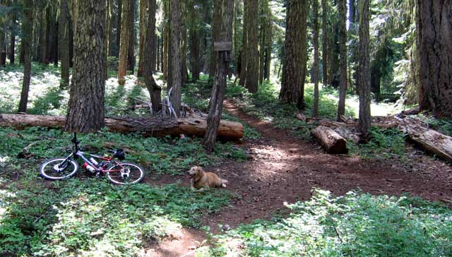
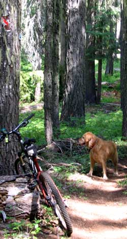
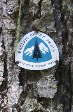
You will see on the map at waypoint BM03 (also marked 005) the Brown Mountain Trail crosses the Pacific Crest Trail. The photo above shows this crossing. I'm standing on the Pacific Crest Trail shooting south. My bike and Morgan are resting on the Brown Mountain Trail. In the photo to the left I am shooting north on the Pacific Crest Trail. In the top left corner you see a piece of a sign tacked to a tree. When you swing your
pointer through the Pacific Crest Sign on the right, you will see a close up of what's left of the brown and red sign. Bicycles are not allowed on the Pacific Crest Trail. Since I am also a hiker, I approve of this rule. Horses and other pack animals are allowed on the Pacific Crest Trail. My thinking is that they do as much damage as bicycles but that is another discussion.
This was a very warm day and Morgan was in constant search for some place to
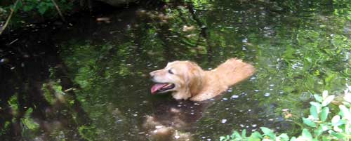
cool off and finally found a deep section of the South Fork of Little Butte Creek. The trail follows this creek about half of the length we traveled.
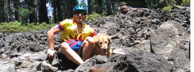
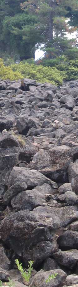
Our trail finally came close enough to a lava flow that we could photograph and climb on the basalt. It was not easy to climb on and very uncomfortable to sit on.
Our trip back to the truck was slightly downhill so faster traveling for me and Morgan was just a fast because she knew she was heading back to the creek where she could again cool off.