 |
|
Wandering Eastern Oregon in an RV page 4 |
| Return to page 3 |
|
 |

|
|
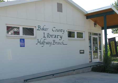
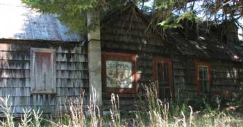
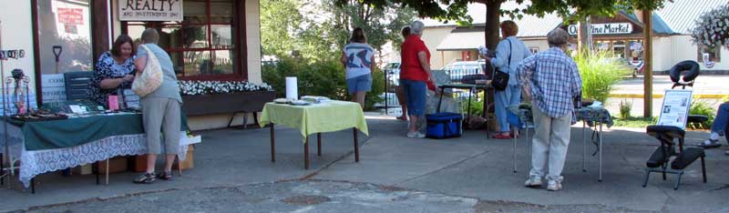
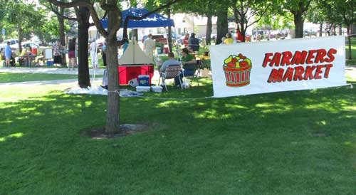
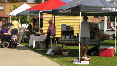
| Saturday, July 25, 2009: We got on the road early this morning to visit the farmer's market in Halfway, Oregon. It's easy to get an early start because we are camped at Hells Canyon in the Mountain Time Zone (MTZ) but only 1/4 mile toward the west on Highway 86 and you see a sign, "Entering the Pacific Time Zone" (PTZ). So a 9 am start in MTZ means you are arriving an hour earlier in the PTZ. The farmer's market opened at 8 am and we wanted the best produce. The photo at the top is the farmer's market in Halfway. We wish them the best, they work hard at what they do and have few customers. Apparently it is too early for anything but squash in Halfway. Gwen is a fan of libraries so once we noticed the library was open, we had to visit. It is a very nice library with Internet access and every computer in the library was being used even though it was early. |
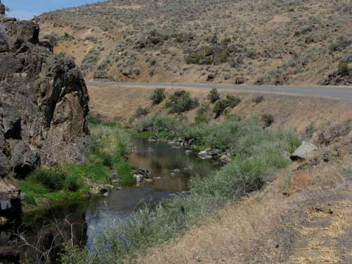 |
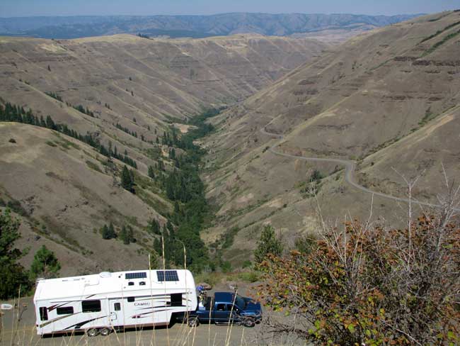
| Now that we were in Halfway and disappointed in the farmer's market, we decided to drive to Baker City. We knew they also had a farmer's market which started later in the day, 10am and ended at 1pm. We could easily be there in less than an hour. We wanted to check the truck for a few items we left behind too. Highway 86 above follows the Powder River from Richland to Baker City. Part of the route takes you through this little canyon. |
 |
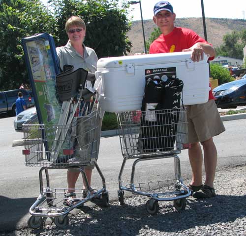
As it turned out, Baker City Farmer's Market was also a disappointment in produce. Gwen found some lettuce but I found a great Baker City Farmer's Market T shirt with a large yellow chicken on the front. You can just see the top of the chicken in the photo below. You'll see it again later. There just wasn't much produce. I was told there was more produce on Wednesday nights, the other day for the market. |
|
| After getting a few items from our stranded truck, we visited Bi-Mart because Gwen was anxious to get a portable screen house. We not only found that but found two great little footstool size folding tables, a chair (like Gwen's) I had been looking for and a 100 quart cooler. We figure on throwing out some items we haven't been using. We have little use for a 100 quart cooler ... as a cooler. Instead, it will hold 25 gallons (100 quarts) of fresh water. It will be filled while on top of the TransferFlo tank in the back of the pickup and carefully transported back to camp. Some other boondockers described doing this after fitting the drain plug with a male hose bib so a |
 |
|
| garden hose can be attached to the drain plug (I don't really mean a garden hose, but one of those white, freshwater hoses you use to bring water to your RV). The other end of the garden hose is fit into the trailer freshwater tank fill opening. Gravity moves the water from the cooler to the freshwater tank. An easy way to keep freshwater when boondocked for longer periods. This cooler already has a hose bib drain plug. Coleman must have read the same boondock forums I've been reading. |
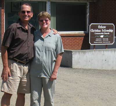 |
Sunday, July 26, 2009: This is our second Sunday in Oxbow, Oregon. Last Sunday we noticed this little church and decided to attend the worship service this morning. It is truly a small but active church. Today was a special day for a young couple with two children who were moving from Oxbow to Bremerton, Washington. The young man had learned to be a welder in the Navy while stationed in Oak Harbor, Washington. As an expert welder he was able to get hired online at the Bremerton shipyard. It was a sad day for the church to have the family leaving but an exciting new adventure for this young family.
Today's message came from Ecclesiastes 4: 9 - 12, two are better than one. The message was concerning friendship. |
|
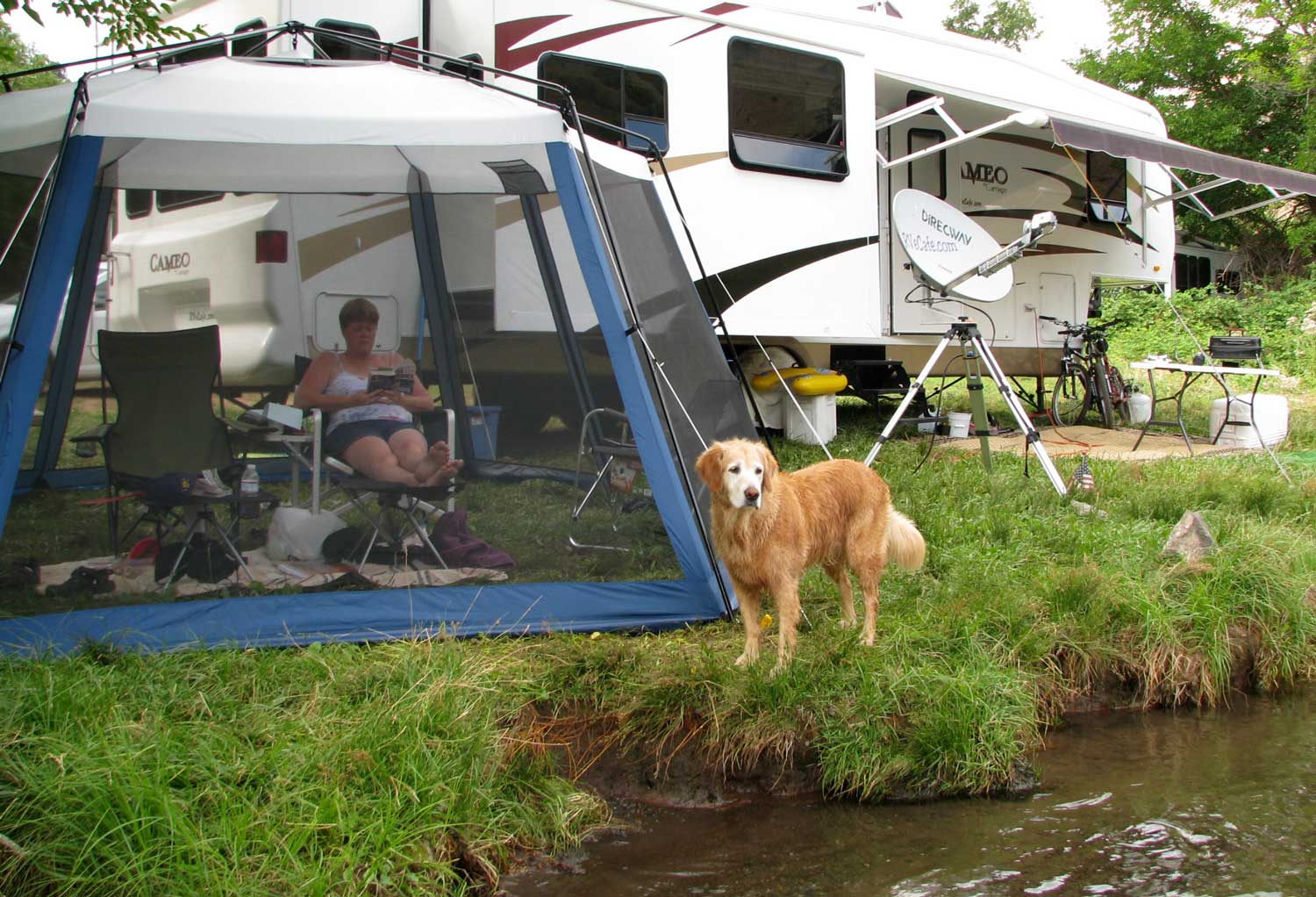
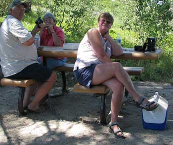
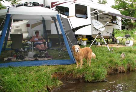
| Today was our first day to enjoy our Bi-Mart purchases. Gwen is happy in her "bug-house". I believe our best purchases were the folding footrests. You can see one under Gwen's feet and the other in front of my chair. These double as footrests, computer tables and drink/snack tables. You can click the photo to enlarge for a better look at the stools. |
 |
|
|
|
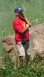
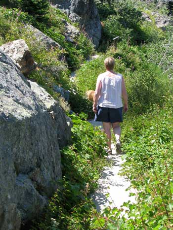
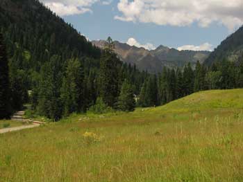
| Monday, July 27, 2009: Today we drove to the mountains on the west side of Hells Canyon in search of cooler temperatures. Towards the top of the mountain, we noticed we had a cell phone signal so Gwen put me on the phone to customer service at the Chrysler Corporation to learn if corporate customer service could find us a fuel pump faster than the estimated ten days (note, I'm still wearing my "chicken T shirt" I bought at the Baker City Farmer's Market). After getting all the information and calling the Powder River Motors dealer personally, the customer service representative said she was unable to do any more for us. Since we feel like we are cooking in Hells Canyon, we continued our drive up the mountain in search of the campgrounds along the Imnaha River. It was our plan to head this direction when the fuel pump failed on our tow vehicle. We found that we would be in temperatures at least ten degrees cooler along the Imnaha which was much more to our liking. Gwen did some hiking and reading while I sat and read my western novel all afternoon. Morgan did some swimming in the cold river water. The Wallowa Mountains and the Eagle Cap Wilderness Area separate Oxbow, Oregon where we are camped and Joseph, Oregon which is a fertile farming valley and artistic town. The Imnaha River begins in the Eagle Cap Wilderness Area and flows into the Snake River. If we had a tow vehicle, this is where we would be camped, out of the heat. |
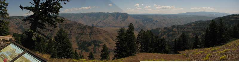 |
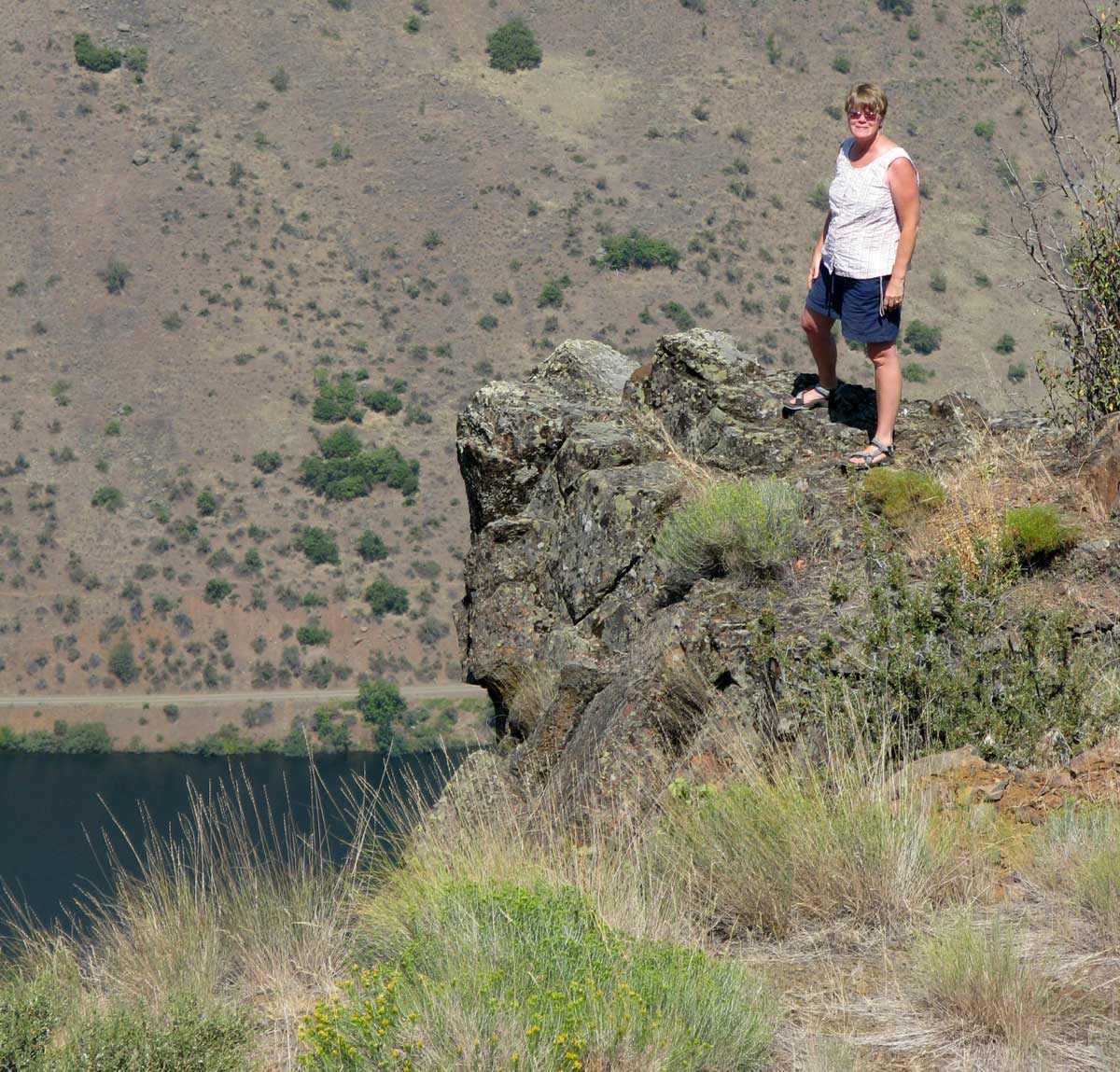
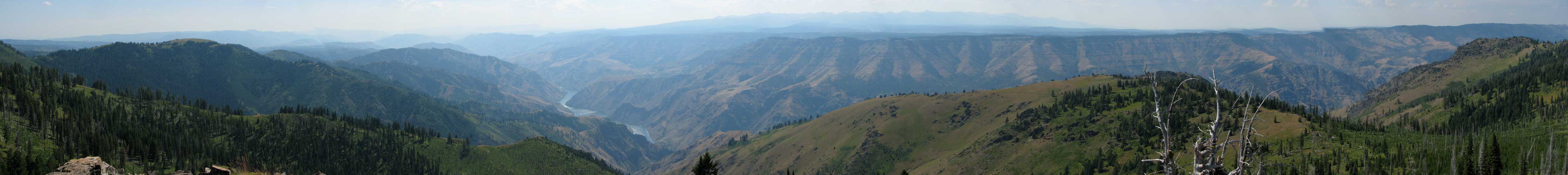
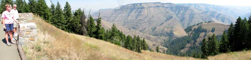
| Tuesday, July 28, 2009: Less than an hour drive from our campsite is the Hells Canyon Overlook. It's a handy place to view Hells Canyon from the west rim. Unfortunately, you can't see the Snake River at the bottom of the canyon from this location. It is still an impressive view. Click the photo to enlarge. |
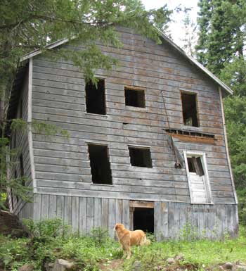
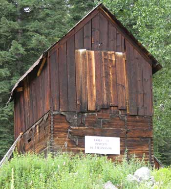
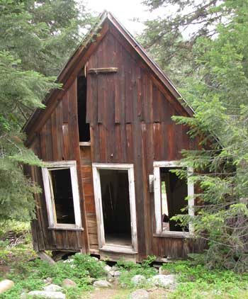
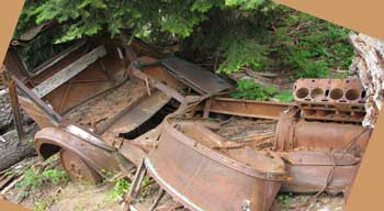
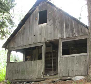
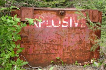
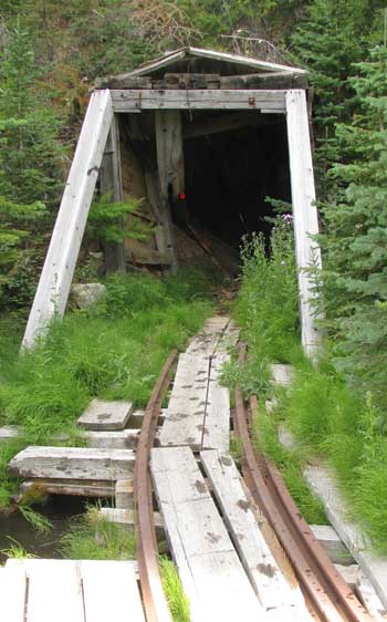
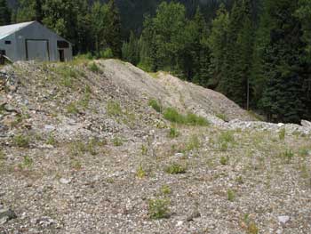
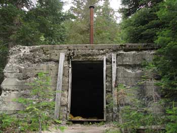
| Wednesday, July 29, 2009: Still looking for cooler temperatures, we drove to a ghost town in the foothills of the Wallowa Mountains. This is the "backside" of the Eagle Cap Wilderness Area if you consider the "front side" faces Joseph and Enterprise, Oregon. The ghost town is Cornucopia, Oregon, about 10 miles north of Halfway. The photo to the right is the only photo you can enlarge, just click on the photo. The rest of the photos are of abandoned mine company and residence buildings. Gold was discovered in 1880 and mining continued until the 1920s. |
 |
|
|
|
|
|
|
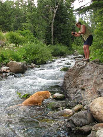 |
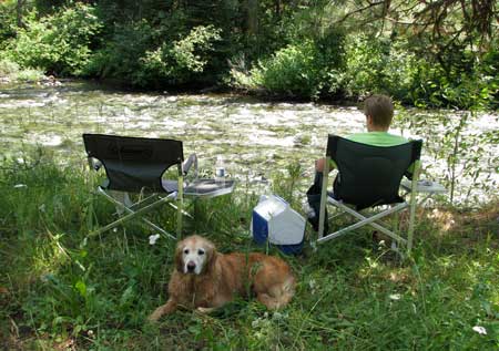
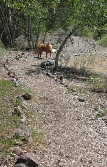
We stopped by this creek on the way down the mountain from Cornucopia. Much if it is coming directly from the mine. The water is very cold but Morgan can't stay out. This is where we sat to eat our lunch and stay in the cool air before returning to hell ... I mean, Hells Canyon. Josh says he'll let us know as soon as the truck repair part arrives, then we're hitch'n up and mov'n out. |
|
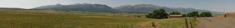 |
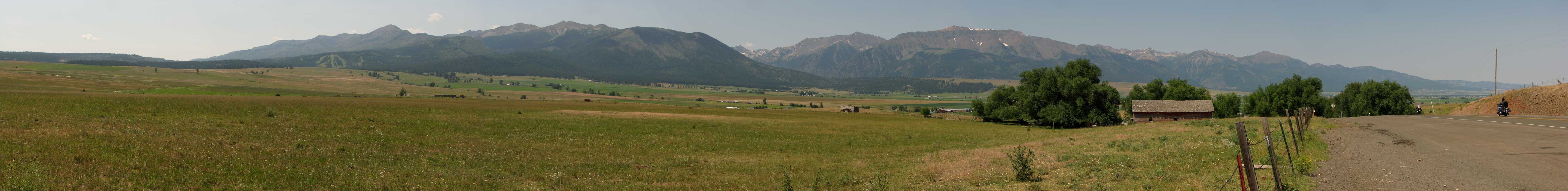
| Thursday, July 30, 2009: The above view (click to enlarge) is of the Wallowa Mountains and the Eagle Cap Wilderness Area taken from the north toward the south (highest peak is 9,838 feet). Joseph is in the foreground with the Joseph/Enterprise farming valley spread across the photo. The Wallowa Mountains seem to erupt right out of the farmland. They are an eastern Oregon surprise and treasure. We drove to Joseph today, a two hour drive to accomplish a mission, to find a camping location for an Escapees Chapter 37 rally which will happen in the middle of August. We found the perfect spot so took the rest of the afternoon to explore. |
 |
|
 |
Of course, we found another farmer's market in Enterprise, Oregon, only 6 miles from Joseph and the county seat. Gwen purchased some spinach and two tiny zucchini.
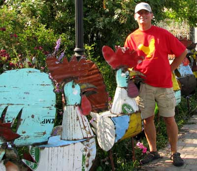
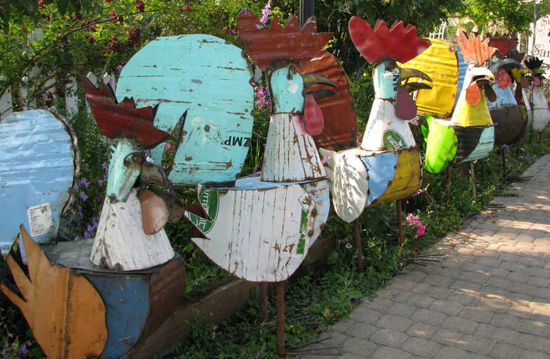
Back in Joseph, we found this row of metal chickens. I was very impressed with them and trying to take just the right photo when I heard a voice behind be say, "would you like for me to take your picture with those chickens?" It was a very attractive, young lady who had just stepped out of her diesel pickup and I immediately felt embarrassed that |
|
| someone would catch me trying to take "chicken pictures". I answered, shyly, "no thank you". "But you are wearing your chicken T shirt." she said. Yikes! She was right. I had to have a photo of me with all these metal chickens wearing my "chicken T shirt". So I handed her the camera and here's the photo above. She got back into her pickup and drove off not knowing the record of history she had just made. Below is the photo I took when she made her offer. If you pass your pointer through the photo above you'll see a third chicken photo. |
 |
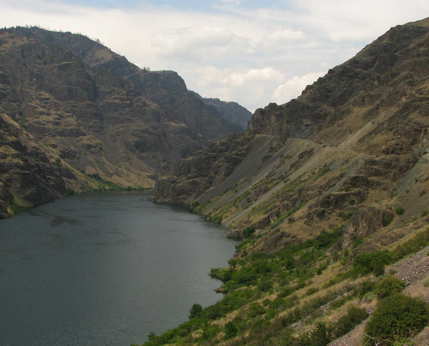
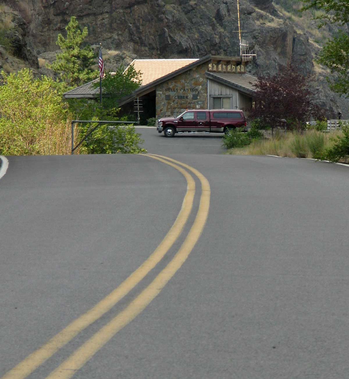
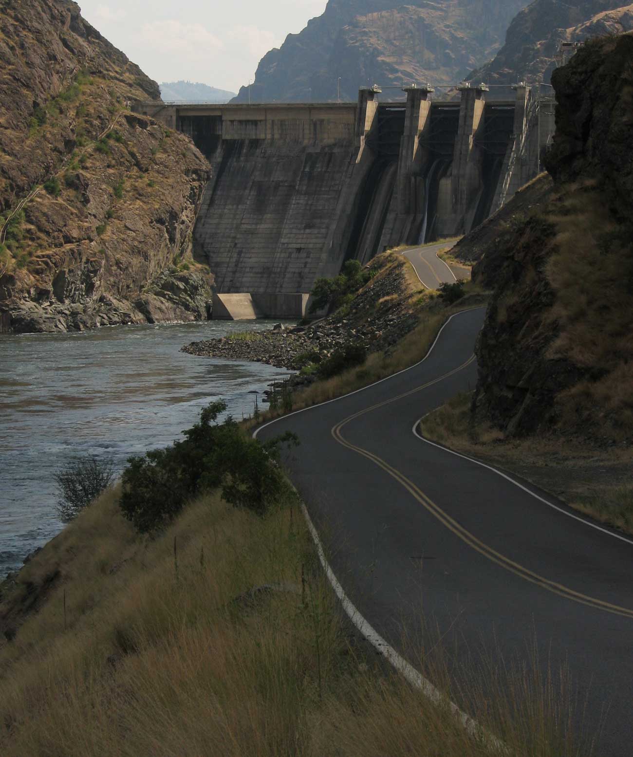
| Friday, July 31, 2009: To drive to the Hells Canyon Dam you must cross the Oxbow bridge to the Idaho side of the reservoir then drive 22 miles. The Hells Canyon dam is the last of three dams built by the Idaho Power Company on the Snake River. Each reservoir feeds the next reservoir while generating power along the way. The wild and scenic Hells Canyon follows the Hells Canyon dam. This is where those who wish to raft or jet boat the wild section put their boats in the water. It took two years to complete the road along the wall of the canyon so the dam could be completed in 1967. You can see the road in the photo to the right. All these photos can be enlarged, just click on the photo. |
 |
|
|
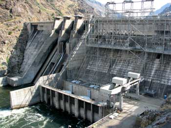 |
At the end of the road is the Hells Canyon dam visitor's center where we talked with Terri for a while. Terri is from Halfway, so more than a hour commute to work for her. Like me, she likes chickens but unlike me, she actually owns chickens. The dam is 300 feet tall and the reservoir behind the dam is 22 miles long. They still let out so much water to generate power, the reservoir level can drop (or increase) by 2 - 3 feet in one night. We have noticed that at our campsite. Currently the reservoir is full. To see the visitor's center you |
| must drive across the dam to the small access road shown in the photo above. There are areas from the visitor center to put your raft or jet boat in the water to have access to the wild section of the Snake River. The Snake River begins in Yellowstone National Park and enters the mighty Columbia River at Pasco, Washington dropping 9,000 feet. The wild section of Hells Canyon is about 1,000 feet deeper than the Grand Canyon, so the deepest canyon in North America. |
|
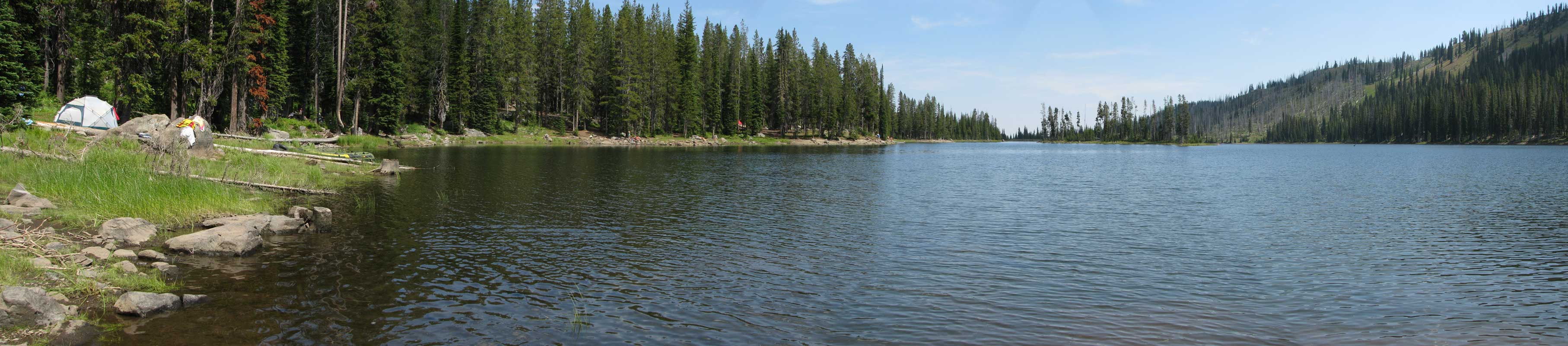
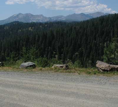
| Saturday, August 1, 2009: It was about 15 degrees cooler at Fish Lake than at Hells Canyon Dam and that's what we came for, relief from the heat. Fish Lake is on the south side of the Willowa Mountains so you can see them from the road at the right as we climb the twenty miles from Halfway to the lake. It seems to be a popular lake with nearly every campsite filled for this weekend. We sat next to the lake for a while reading then decided to hike around the lake. Gwen thought she found a trail but it disappeared about halfway around the lake. Still, it wasn't that large a lake, it took about an hour to hike around. You can click the photo below to enlarge. |
 |
|
 |
 |
 |
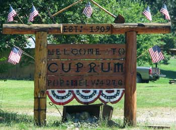
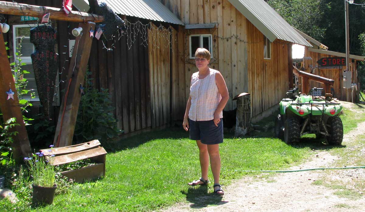
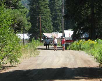
Monday, August 3, 2009: Today was an adventure we would have never done on our own. Our Georgia neighbor's, Harrie and Barb took us on the drive of our lives up the Idaho side of Hells Canyon. We were often looking straight down several thousand feet. They have a Dodge Ram similar to ours (except their's runs) and wanted to take us to Cuprum, Idaho. Cuprum is a tiny town on a gravel road between Hells Canyon and Highway 95. The population is 8. They get mail delivery 3 times each week and UPS even delivers. I saw a couple of tiny saw mills but no other income producing business in Cuprum other than the tiny Indian Creek Store which sells, pop, beer and canned goods. We learned Gary Cooper stayed in the Copper Lodge (now closed) in 1947 to enjoy the area. Most of these photos can be enlarged when you click on them. |
|
|
|
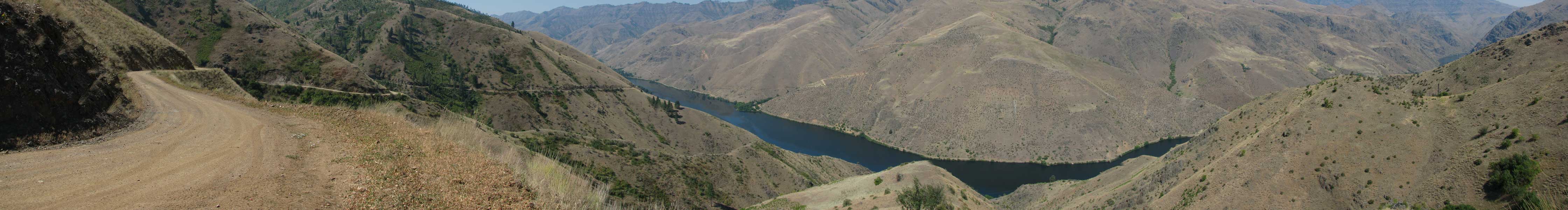
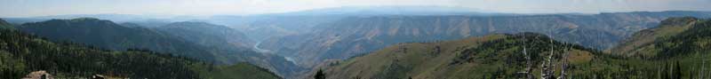
| We decided to extend our adventure by driving to Sheep Rock, an overlook of Hells Canyon and the Seven Devils Mountains. Sheep Rock is to the far right in the photo below. Click to enlarge. Sheep Rock has a very nice 1/2 mile Interpretive Trail with 15 signs along the path to tell about geology plus plant and animal life in the area. The Wallow Mountains are in the hazy distance above the far rim of the canyon. |
 |
|
 |
|
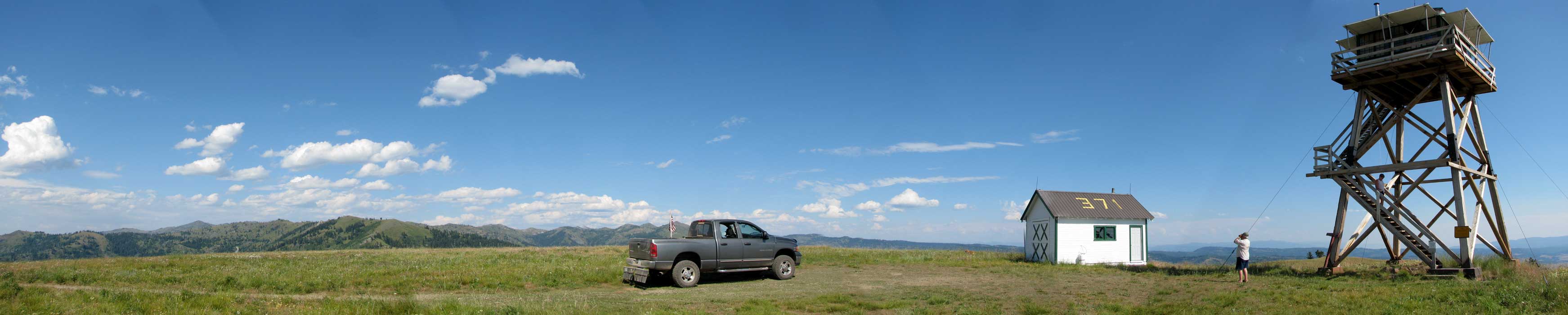
| Barb likes lookout towers so when we had the opportunity to visit the Horse Mountain Lookout Tower, we had to check it out. Harrie and Barb are animal lovers so they allowed Morgan to come along on the trip. Morgan is not use to sharing her back seat but she reluctantly put up with Gwen and Barb sitting with her. Gwen is on the tower stairway coming back to earth while Harrie is checking out another tower he spotted in the eastern distance. (Click the photo to enlarge) No one was at the lookout today and we couldn't access the top level since it was locked. It appears that it is usually active this time of year. This was a nice way to spend a hot day. It only reached 75 during our adventure but was 97 back at camp. When we got back to camp, we did receive word that the missing part to fix our truck had arrived and we expect to exchange the Chevy Cobalt loaner car for our Dodge Ram by Wednesday. |
 |
| Tuesday, August 4, 2009: Gwen always says that bad things happen in threes. Today, we took care of one of those bad things. The first bad thing was the flat tire on the trailer, the second was the fuel pump on the truck. The third bad thing was my laptop battery quitting suddenly. I have a Dell laptop so you know the batteries are relatively expensive. They are not something |
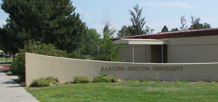 |
| a computer shop would stock. I checked our travel plans at the time and decided La Grande, Oregon would be the ideal location to get a new battery. I emailed (remember, my cell phone does not work while parked in Hells Canyon) "All Around Geeks" and Jason answered me with the right price and quick turn around time for the battery. We decided to drive to La Grande today, about 2.5 hours one way because our travel plans had changed and we likely won't get to La Grande again until mid-August. Plus, we wanted to put the miles on the little Cobalt rather than our truck. A third reason, the Cobalt is air conditioned, so that meant 5 hours in an air conditioned vehicle rather than sitting in the shade at Hells Canyon where it is 97 degrees. Jason had the battery ready and it worked. Hopefully, this third "bad thing" is the end of it. While in La Grande, Gwen shopped at a Super Walmart while I started the laundry and washed all the dust off the Cobalt. We were hoping Power River Motors might have our truck ready today, late, since they got the part yesterday. We must return to Hells Canyon through Baker City anyway. Unfortunately, the truck was not ready but promised by noon tomorrow. La Grande is the home of Eastern Oregon University. I would like to spend some time exploring the university but that will have to wait for another day. EOU has several online degrees and I believe their online degree program is what supports most of the university. If you want to get an accredited university degree while sitting at your computer at home, you should check with their programs. |
|
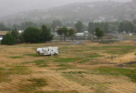 |
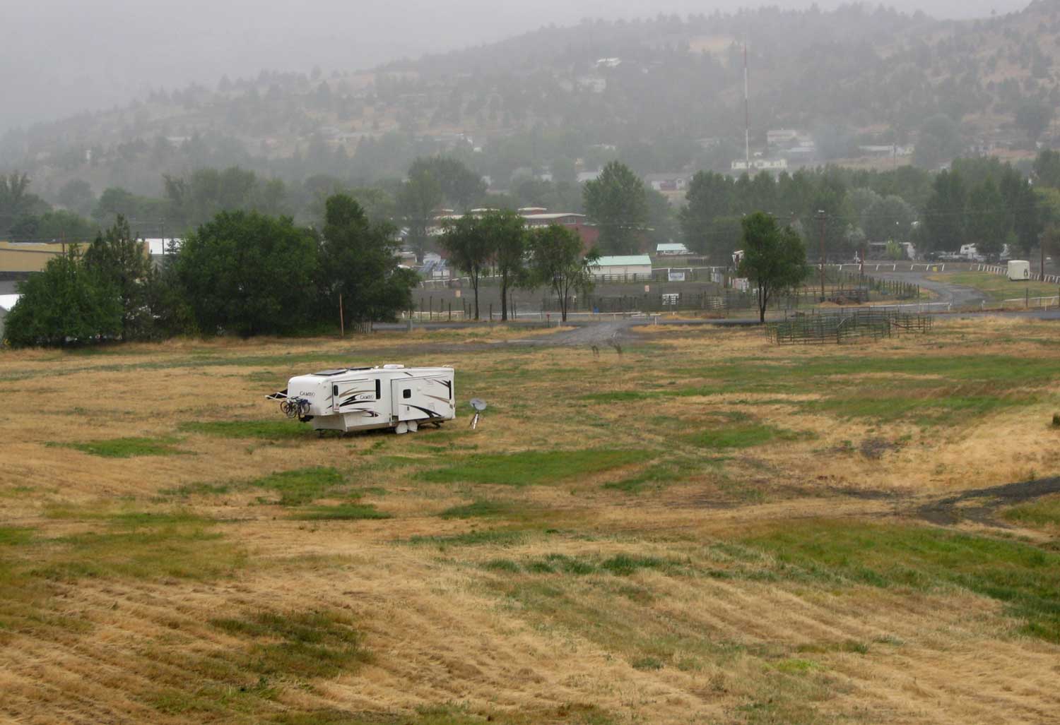
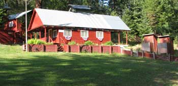
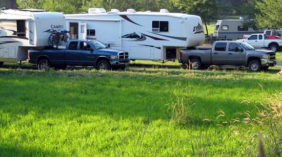
Friday, August 7, 2009: After replacing the tires on the trailer and truck at Les Schwab, we are parked at a very nice location at the Grant County Fairgrounds. They have a very nice RV park at the fairground for $20/night which gives you full hookup but we are prepared for boondocking so chose the field instead. Stephanie usually charges $5/night to park in the "field" but she only charged us $15 for a whole week. This is the field where our other Escapees Chapter |
| 37 friends will meet us on Tuesday, August 11 for the beginning of the "rolling rally" we have helped to organize. We visited the chamber of commerce and the laundromat to complete the day. These last two days have been solid overcast with rain. Our solar power generation has been only one-tenth of a normal sunny day. It's our first solar challenge. You can see the foggy conditions toward the hills in the background. Still, this is a relief from the 90+ temperatures of the last three weeks. Click the photo to enlarge. You can also see the fairgrounds across 3rd St. from the field. I am able to walk to downtown John Day from this location including ACE Hardware, my favorite place to shop. |
|
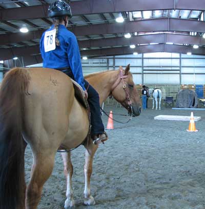
Saturday, August 8, 2009: Today was Open Class horse competition in John Day. We watched the competition until nearly 2 pm. You could tell that these riders have put in lots of practice time. The judge set a particular course along with the actions the horse and rider should do at each station. This was not a race but a show of horse control by the rider. Neal stood next to us and was with four of the riders. He informed us of what was expected of rider and horse. Neal has lived in this area all his life. He is a teacher for the Dayville High School (7-12) with 26 total students. I once applied for a teaching job in this area and would have ended in a similar situation but was first runner-up.
Below is the most important intersection in all of Grant County. I took this photo |
 |
|
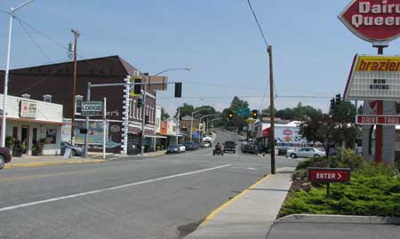 |
for the "city-folk" readers. There is only ONE intersection with a traffic light in all of Grant County and this is that traffic light. We have Dairy Queen on the southwest corner, State Farm on the northwest corner, Mosier Furniture Store on the northeast corner and a vacant building on the southeast corner. This is the intersection of US395 and SR26. US395 passes through Washington, Oregon, Nevada, California from Canada to Mexico. Click the photo to enlarge. |
|
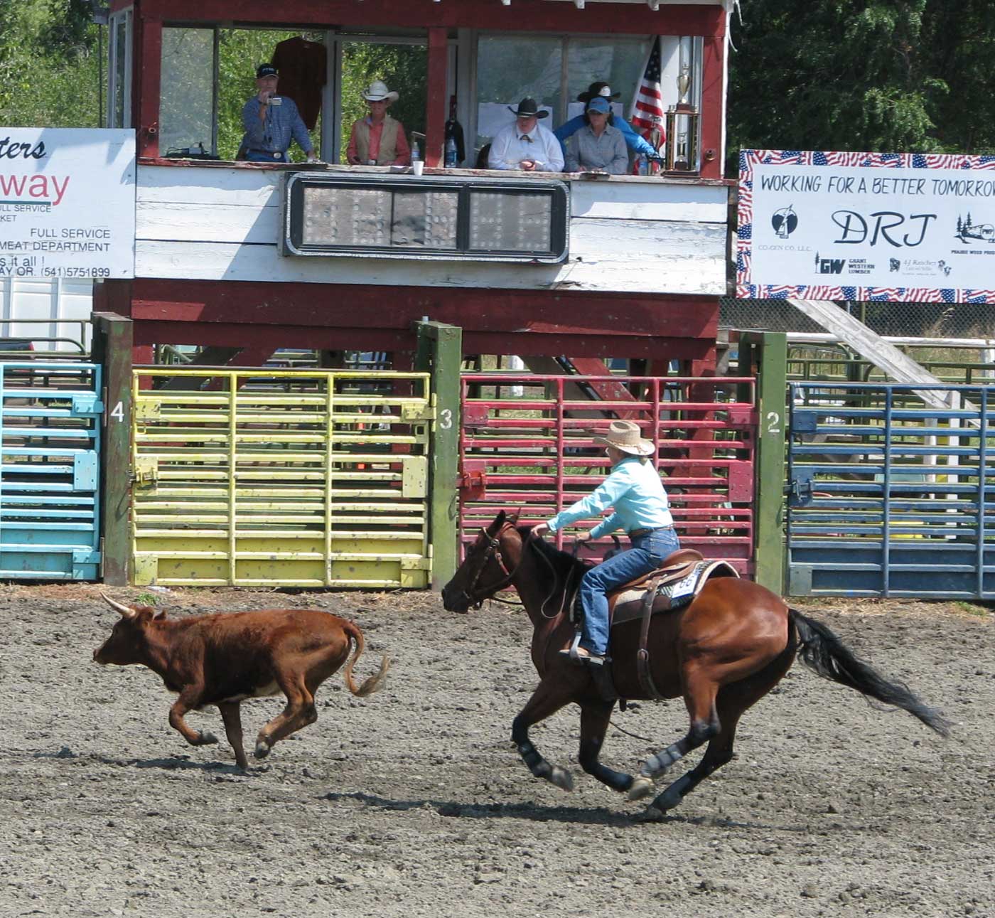
Sunday, August 9, 2009: The open horse competition continued today with cow control competiton. I believe this is Jenny, the first place winner. Click the photo to enlarge, when you do, you'll see Neil making announcements but currently making a video. Standing next to Neil is his wife Jan. The lady in the white shirt is the judge of the event.
Morgan and I took a walk on the Bob Miles Memorial Trail leading from the fairground along the John Day river.
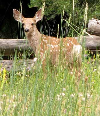
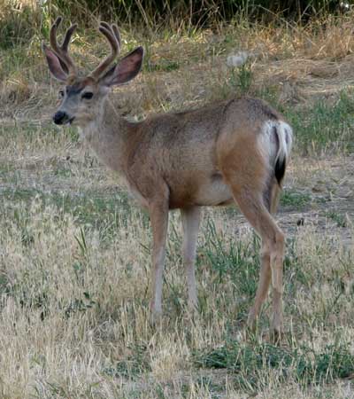
Our camping field is visited by many local deer. Tonight it was at least 5 bucks. |
 |
|
|
 |
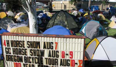 |
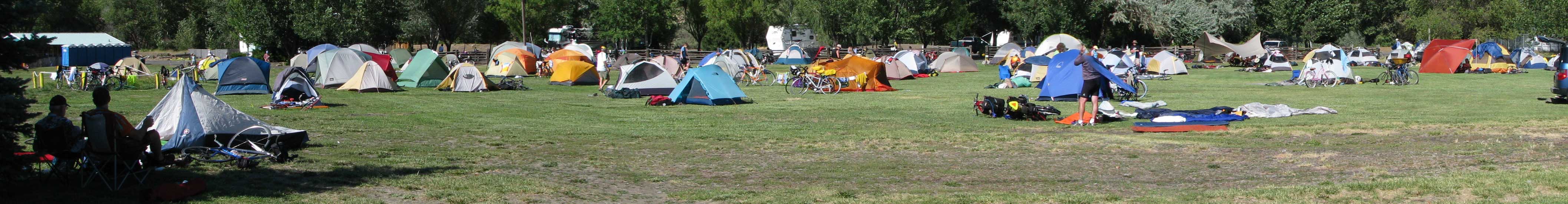
Monday August 10, 2009: The Oregon Bicycle Ride (OBR)has arrive in John Day. This was special for me because I did the OBR in 1996 and enjoyed every mile. The ride I did in 1996 was considerably longer and more aggressive than this ride. We began in La Grande, Oregon and ended in Pacific City on the coast. When you click the link above, you'll see this ride began in Heppner, Oregon and will end in Heppner after completing a large loop. The OBR |
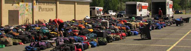
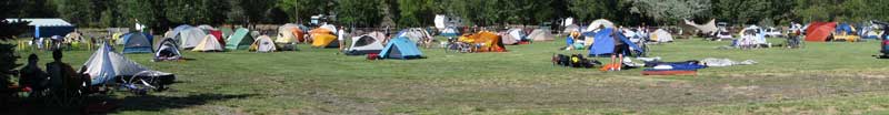
| is limited to 300 riders. The organization transports all gear (tents, sleeping bags, chairs, personal equipment) to the next stop and provides maps, support, snacks during the ride plus breakfast and dinner each day. The rider does not have to carry gear as a bicycle tourist would. The organization also makes arrangements for the camping location each night. In the top photo, all gear has arrived and been arranged according to the color of the ribbon on the bag to make it easier to find gear. As riders arrive, they first search for the best tent location, usually with a shade tree nearby. The organizition brings in a semi-truck which is the shower truck so after setting up the tent, the rider can take a shower. Obviously, there is still a lot of interest in bicycling. You'll probably never see so many $2,000 - $3,000 bicycles in one place. Click the photo below to enlarge. |
|
 |
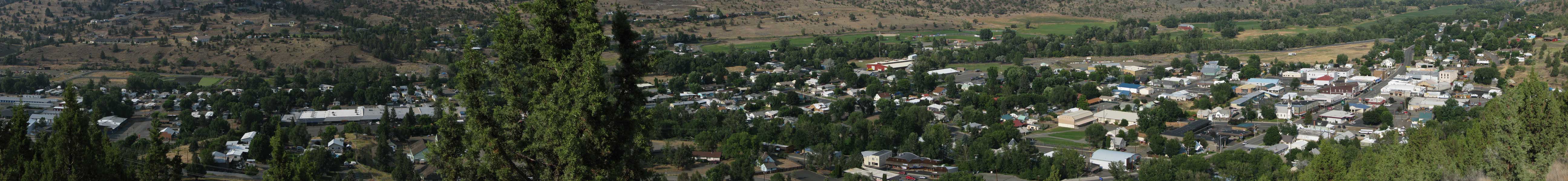
| Wednesday, August 12, 2009: Today is our last day in John Day until we return again. You'll still find us in the field across from the fairground. Click the photo to enlarge. |
 |
 |
Wednesday, August 19, 2009: After leaving the Chapter 37 folks in Joseph, Gwen and I headed north on highway #3 with Dick and Mary Ellen. Our first stop was at Joseph Canyon. It was a very impressive canyon, probably 1,500 feet to the bottom. Our goal is to make Moscow, Idaho today, spend the night, then head further north tomorrow.
Highway #3 turned out to be the biggest challenge yet for Big Blue with very steep descents and climbs with plenty of hairpin turns. After descending to the bottom of a canyon, we immediately had to climb out on the other side. I was using first gear to slow the decent but was able to stay in second gear when climbing out. It's important for this automatic transmission Dodge to stay at or above 27 MPH so I can keep the torque lock engaged. When it is not engaged, the automatic transmission is heating up the transmission fluid and slipping. With it engaged, I have a direct connection from the engine to the differential similar to a standard shift transmission. Note the three solar panels on the roof of our RV. What was worrisome was Dick and Mary Ellen using our radios to tell us that, "We haven't seen anything yet on this road." What they meant was that it would get worse. I think they were right, especially the uphill climb. Click either of these photos to enlarge. |
 |
| We have made it to Moscow, Idaho. The park we chose was a Latah County Park, Robinson Lake Park. The fee for a 50 amp space is only $10 but with a Senior Pass is only $5. It would have been nice to have the 50 amps to run our air conditioning. Unfortunately all the spaces were taken so we are in the overflow area for only $2.50 for the night (senior rate). |
 |
|
| |
| Return to page 3 |
Continue to page 5 |
|
|